
The Mesohabitat Simulation Model (MesoHABSIM) is an effective approach to modeling instream habitats at the river and site specific scale. It uses a computer model, Sim-Stream, that predicts the quantity of habitat for aquatic communities in rivers and streams for watershed management scenarios. It is used in water management for instream flow assessments as well as in river conservation and restoration planning.
MesoHABSIM modifies the data acquisition technique and analytical approach of similar models by changing the scale of resolution from micro- to meso-scales. Due to this increase in scale, the model takes into account the variations in stream morphology along the river and is more applicable to large-scale issues. Habitat and fish measurements at larger spatial units are more practical, more relevant to river management, and more conducive to habitat modeling.
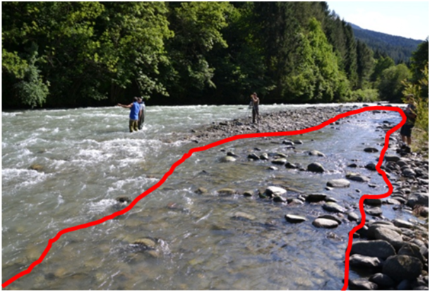
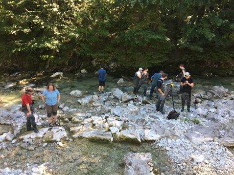
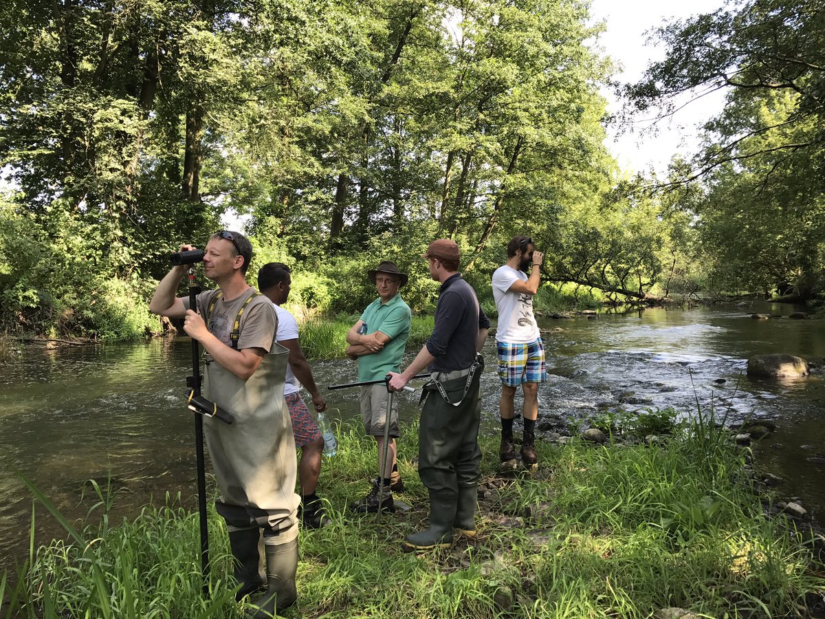
Mesohabitat types are defined by their hydromorphological units (HMUs), such as pools and rapids, geomorphology, land cover and other hydrological characteristics. Mesohabitats are mapped under multiple flow conditions at extensive sites along the river. Fish or invertebrate data is collected in randomly distributed mesohabitats where habitat surveys are also conducted. This data is used for developing mathematical models that describe which mesohabitats are used by animals more frequently. This allows evaluating habitat availability at a range of flows.
Rating curves represent the changes in a relative area of suitable habitat in response to flow and allow for the determination of habitat quantity at any given flow within the range of surveys (Figure 1). These rating curves can be developed for river units of any size making them useful for drawing conclusions about the suitability of channel patterns or habitat structures for various species of fish for specific sections as well as for the entire river. Rating curves can also be used to evaluate the benefits of various restoration measures on the entire fish community.
In combination with hydrologic time series, rating curves are used to create Uniform Continuous-Under-Threshold (UCUT) curves for the analysis of frequency, magnitude and duration of significant habitat events (Figure 2). UCUT curves evaluate continuous durations of unsuitable habitat under a specified threshold. UCUT curves serve as a basis for the development of ACTograms that managers can use to determine how long a given species can tolerate unsuitable conditions depending on its life stage (Figure 3).
MesoHABSIM is designed to assess habitat availability not only for individual species but also for an entire aquatic community to analyze and predict ecosystem potential. For this purpose we determine the composition of the native fish or invertebrate community using the Target Fish Community approach, described by Bain and Meixler (2000). A comprehensive list of species is generated from literature sources and available regional data collected on relatively intact river reaches. The species are ranked on the basis of abundance in the long-term fish collection data from multiple rivers of similar character and expected proportions of each species are calculated. Since community structure may change seasonally, for each season (bioperiod) we select a number of indicator species, for which a habitat model is developed.
The results of MesoHABSIM create the framework for integrative analyses of many aspects of the ecosystem. It also allows managers to recreate reference habitat conditions and evaluate possible instream and watershed restoration measures or alterations, such as dam removals or changes in water withdrawals. From the perspective of resource managers, it not only allows for quantitative measures of ecological integrity, but also creates a basis for making decisions where trade-offs between resource use and river restoration need to be considered.